 | ||||||
| Articles | Projects | Resume | Cartoons | Windsurfing | Paintings | Album |
Esquimalt Lagoon
State of the Ecosystem Report
Water Quality Analysis Project 1998
Waterose et. al.

Section 7. Photographs of Sample Sites:
Location of Sample Sites:
The location of the sampling sites are illustrated below in Figure 7.1. There were six surface water sampling sites and two groundwater wells which are labeled seven and eight on the map.
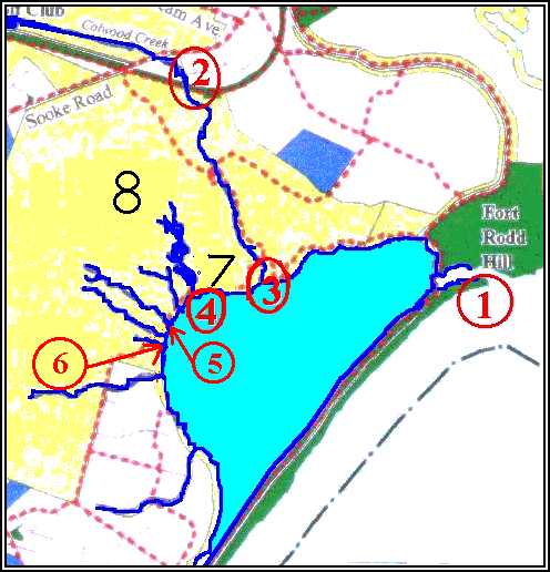
- Site one was located at the mouth of the inlet to the Lagoon. The samples were obtained during the peak of the incoming tide to detect if there was any back flushing that may have originated from the sewage out-fall pipe.
- Site two was located upstream on Colwood Creek where it entered the RRU grounds.
- Site three was located downstream on Colwood Creek immediately upstream from the salt marsh and estuary. The sampling was done on the upstream side of the foot bridge. This enabled results from upstream and downstream on Colwood Creek to be compared to detect any significant differences that may indicate inputs from RRU. In addition, these results were compared to those of other surface streams that originated on the university property.
- Site four was located below the ponds where Garden Creek entered the Lagoon to examine levels and potential inputs that may have originated in the Japanese Gardens and the ponds. It is important to note that this system is used by waterfowl, and, it is highly eutrophic.
- Site five was located at the mouth of Hatley Creek where it entered the Lagoon.
- Site six was located at the mouth of a small unnamed creek where it entered the Lagoon, adjacent to the community resource center. Collectively, sites four, five and six provided a good representation of surface waters that emerged on the university grounds.
- Site seven was a small ground water well, known as a mini-piezometer, located below the ponds, adjacent to the Lagoon.
- Site eight was a second piezometer located above the ponds near the pool and gymnasium buildings. The piezometer sites were located above and below the Garden Pond system. The nutrient data from the groundwater was compared to the analysis of the levels in the surface waters in the Pond system. As well, it provided information on the groundwater that emerged along the spring line at the base of the escarpment. This was compared to groundwater near the Lagoon at Site eight.
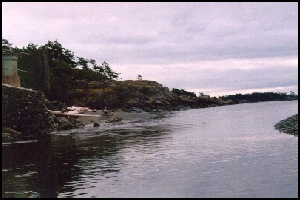
Ocean inlet above and getting waved below.
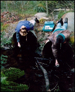
Double Dipping.
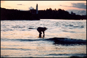
Watchful spaniel supervises.
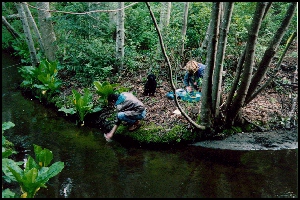
Which way to the beach?
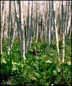
Lost...in a patch of skunk cabbage.
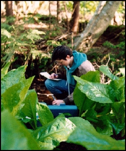
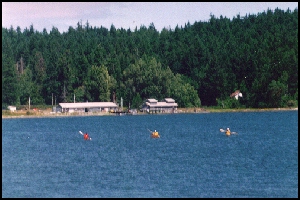
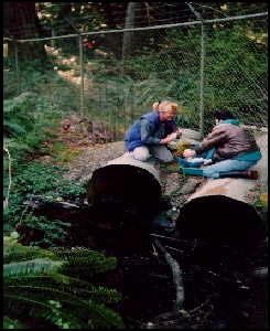
Testing...Testing...and more Testing...
To Section 7. Sample Procedure
To Section 8. Analysis Procedure
Index:
- Introduction
- History and Land Use
- Geomorphology
- Nutrients and Coliforms
- Red Tides and Fish Kill
- Hydrocarbons
- Sample Procedure
- Analysis Procedure
- Results
- Discussion
- Future Study
- References


 email Waterose
Please Sign My Guestbook
Please View My Guestbook

| Articles | Projects | Resume | Cartoons | Windsurfing | Paintings | Album |
 | ||||||