Maps and Diagrams
For those people who dont have a clue about what around Antarctica I have included this page full of small drawings and a few scanned images. If you want more detail, I suggest you go official sources for professional maps and drawings.
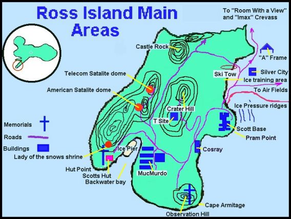
Below is a small part of the more populated part of Ross Island. You wouldnt belive how long it takes to draw such ugly pictures. Hopefully they are enough.
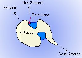 Instead of
scanning in a big photo of where in the world Ross Island is (thats
what maps are for) I thought this little image would give you a
good idea.
Instead of
scanning in a big photo of where in the world Ross Island is (thats
what maps are for) I thought this little image would give you a
good idea.
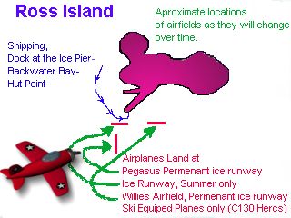 I should have
put this little picture with the page on transport, but this will
do. The diretion of airplanes aproach is very simmilar to the way
the boats come in, down the side of the island.
I should have
put this little picture with the page on transport, but this will
do. The diretion of airplanes aproach is very simmilar to the way
the boats come in, down the side of the island.
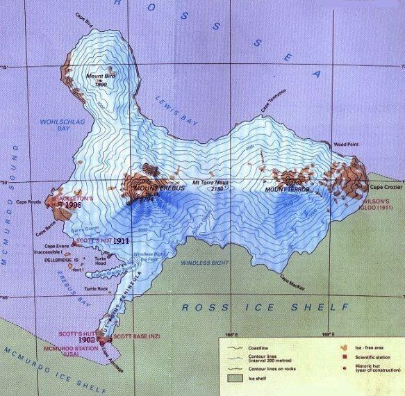
This is a more detailed picture of Ross Island.
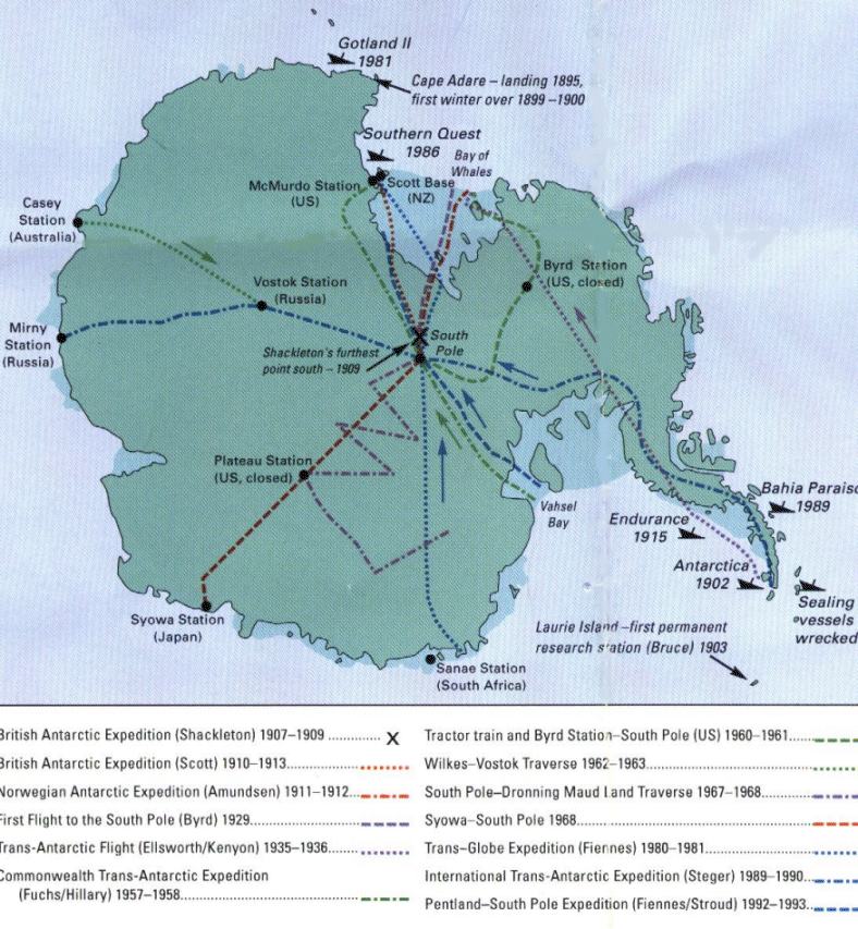
If ever you wanted to know about exploration then the picture below will interest you.
www.geocities.com/coolrunnernz/
9-3-01
By Ray Young
Edited by Shirley Baston Fred - [email protected] - ICQ #15167279