
 |
| This project was an assignment given in the course Intro to GIS.
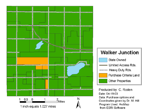
The purpose of this project was to find the parcels of land that best matched the purchase criteria of my "employers". This project required tablet digitizing of Walker Junction land layers. The land layers consisted of soil and slope, township and range, land owners, sewer lines, buildings, and roads. |