

Uruguay's Geography
Information about Uruguay's physical geography.
Land
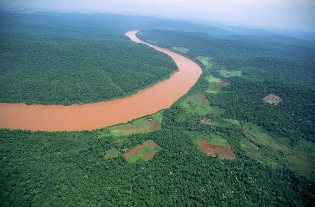
Most of Uruguay's land is low-lying and flat to gently rolling. Grassy plains predominate, especially in the southwest, which is part of the Pampas region. Hilly land occurs as ridges called cuchillas. Uruguay's highest point, 1,644 feet (501 m), is in the Cuchilla Grande near the Atlantic coast. Sandy beaches, dunes, and shallow lagoons are among the features along the coast.Uruguay’s Atlantic coastline stretches 200 miles and contains a series of impressive beaches, tidal lakes, and dunes. There are five interior rivers that flow westward into the Rio Uruguay, Uruguay’s western boundary.
 Three quarters
of Uruguay’s area is natural grasslands and supports the grazing of a multitude
of livestock. Five percent of the country is forested, while around ten
percent is used for growing crops including a variety fruits and grains.
Cities have spacious green areas and because of the continuity of the winds
and the lack of pollutant industries, there is hardly any environmental
pollution. Earthquakes are unknown in Uruguay.
Three quarters
of Uruguay’s area is natural grasslands and supports the grazing of a multitude
of livestock. Five percent of the country is forested, while around ten
percent is used for growing crops including a variety fruits and grains.
Cities have spacious green areas and because of the continuity of the winds
and the lack of pollutant industries, there is hardly any environmental
pollution. Earthquakes are unknown in Uruguay.
Water
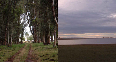
Most of Uruguay is drained by the Uruguay and Negro rivers. The Uruguay flows southward along the western border and joins the Paraná River, forming the broad estuary known as the Río de la Plata. The Negro River flows southwestward across Uruguay from Brazil, draining the land between the Cuchilla Grande and the Cuchilla de Haedo. Large amounts of hydroelectric power are generated on the Uruguay and Negro rivers. Río Negro Reservoir, impounded by a hydroelectric dam on the Negro, is one of the largest human-made lakes in South America. Uruguay shares the Mirim Lagoon with Brazil.
Climate
A mild climate has helped make Uruguay's coast one of South America's most popular tourist attractions. January, the warmest month, averages 74° F. (23° C); June, the coldest, averages nearly 50° F. (10° C.). There are hot periods occasionally during summer. Rainfall totals about 40 to 50 inches (1,020 to 1,270 mm) a year. Short droughts periodically occur.
Leave a Comment
|