 |
 |
 |
 |
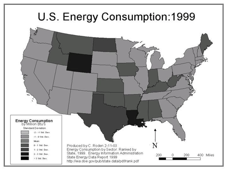 |
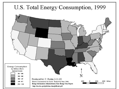
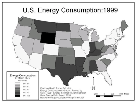
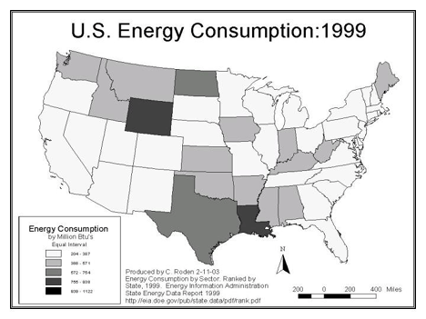
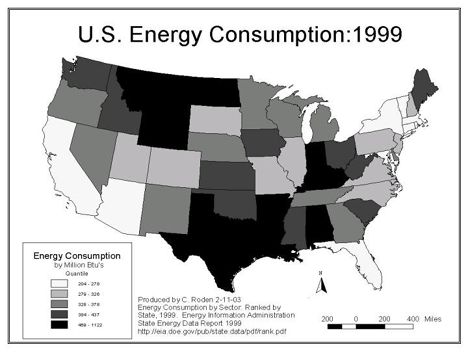
| The choropleth maps shown are differentiated by various
mathematical applications.The following techniques were used: 1. Natural breaks 2. Equal Area 3. Equal Interval 4. Quantile 5. Standard Deviation These maps were produced using ESRI ArcView 3.2 software. |
