|
Maps:
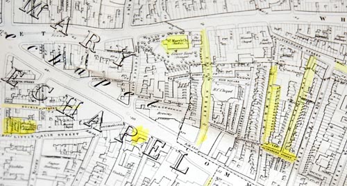
1) Map of Whitechapel, 1873, showing
location of various places of Ullinger interest
and here's the modern map:
View Larger Map
2) Modern Limehouse via Google maps, showing Trinidad St, formerly South St, where the Ullingers and Knaufs lived for many years
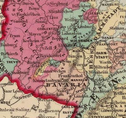
3) Map of Germany c 1860, showing location
of birthplaces of Jacob Ullinger and Jacob
Knauf
Map-related links:
Buy OS maps of London 1870
-1911
Online searchable map of 1862 London and surrounding areas
Booth's Survey of London (1889) - links to 1889 map of London showing streets colour-coded by 'social class', plus descriptions of each street
|